
Wildlife Friendly Management
Practices that improve habitat quality by creating more naturalistic conditions
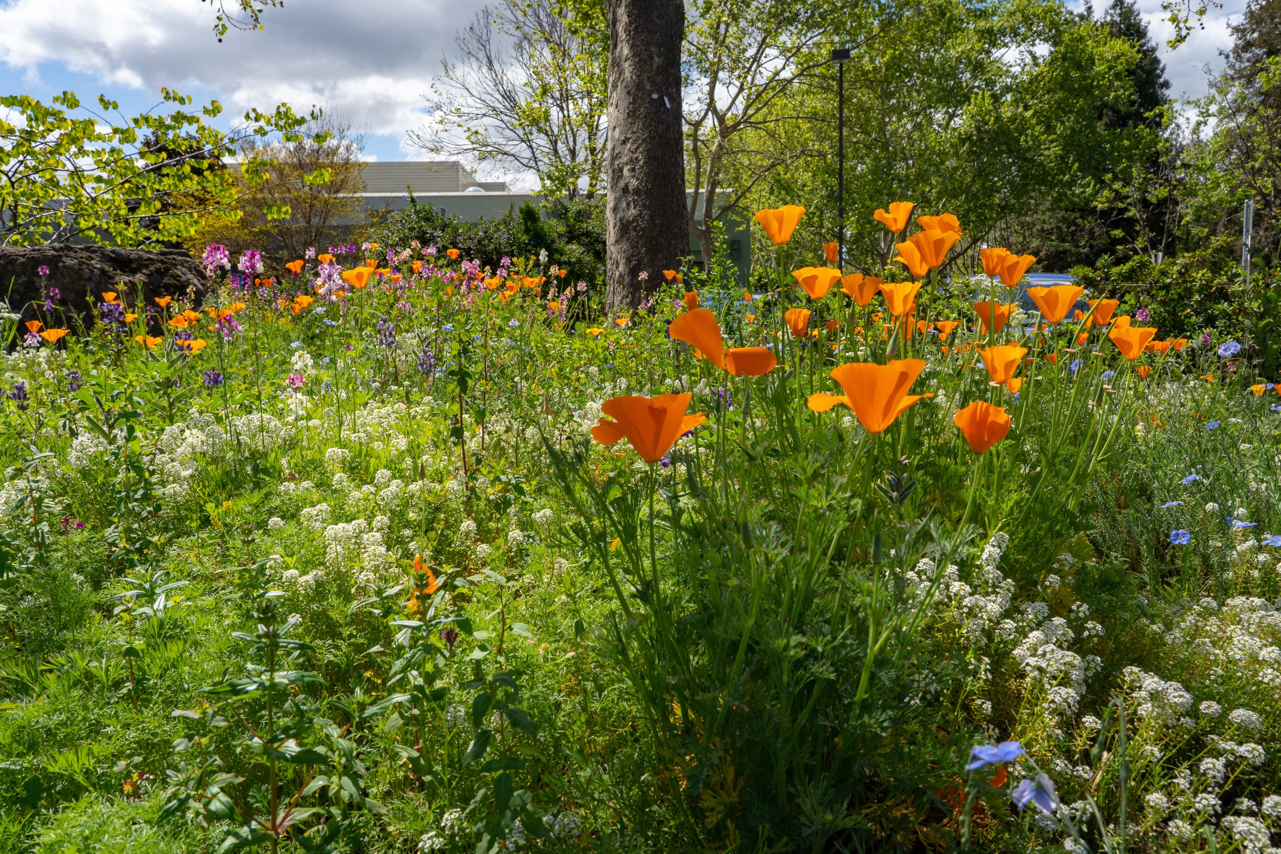
Native Plants
Plants that define and structure native habitat types while providing native wildlife support
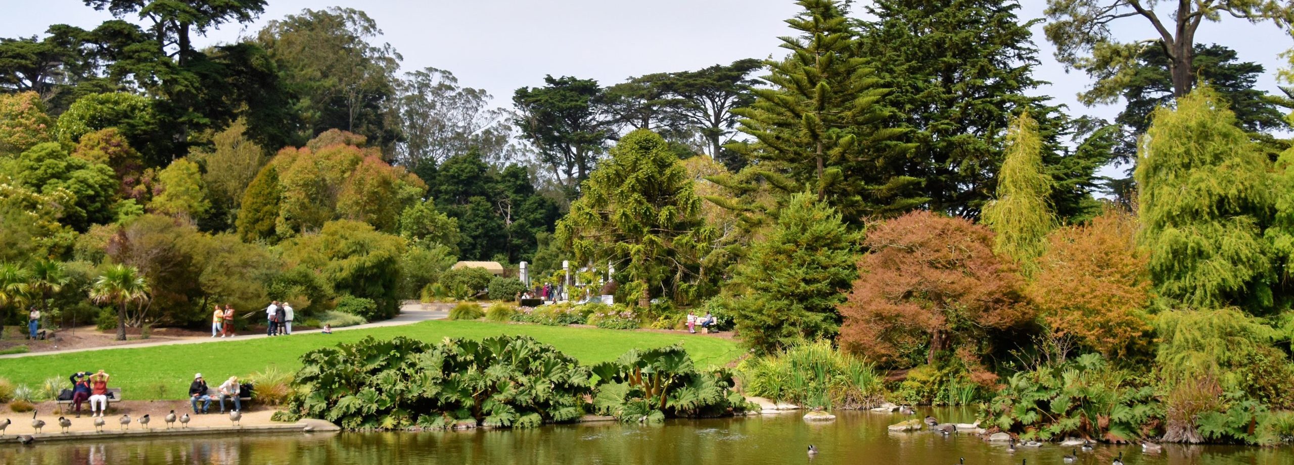
Habitat Complexity
Multi-scale species diversity including habitat diversity, structural complexity, and plant diversity
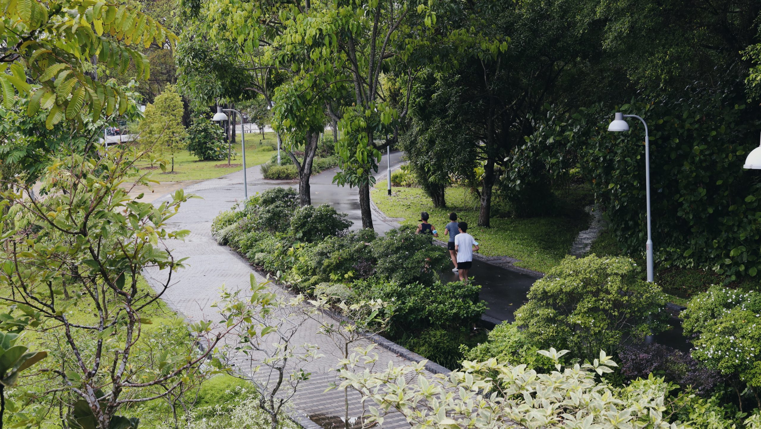
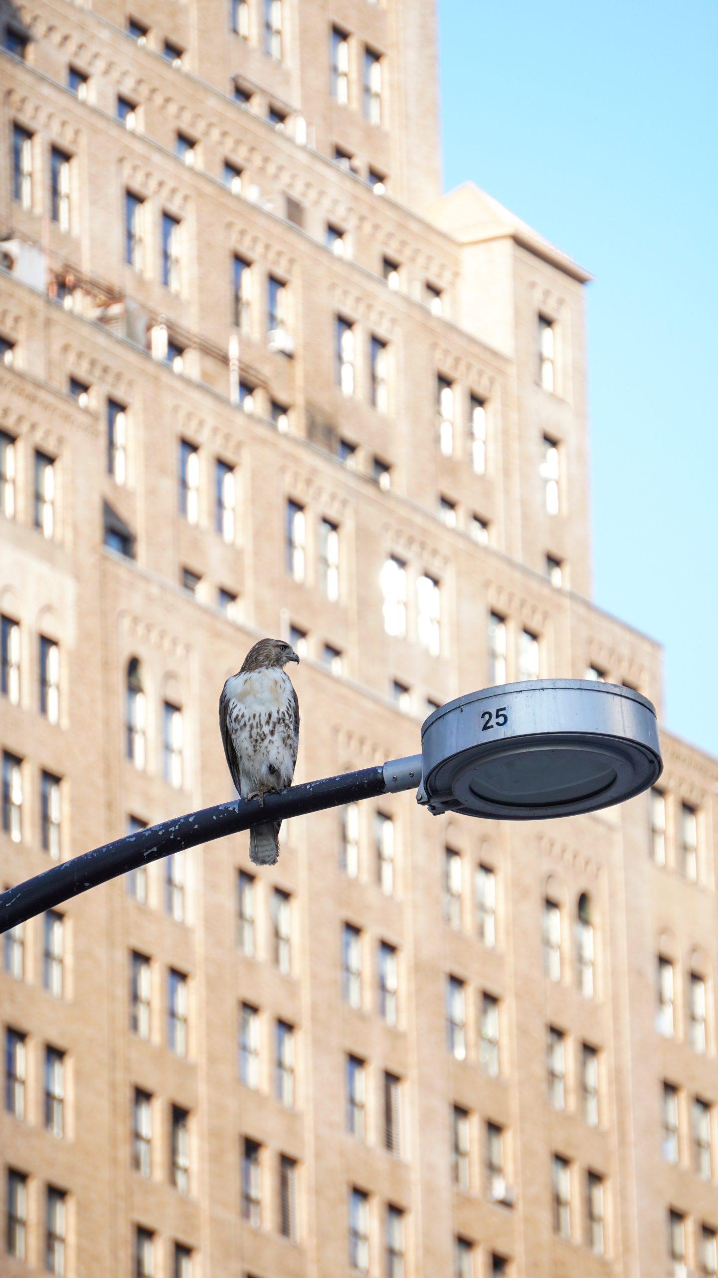
Urban Trees and Forest
The collection of trees growing within a city from street trees to remnant native forest

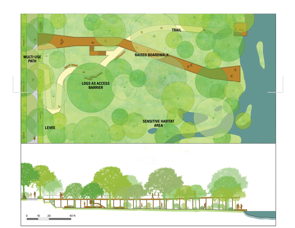
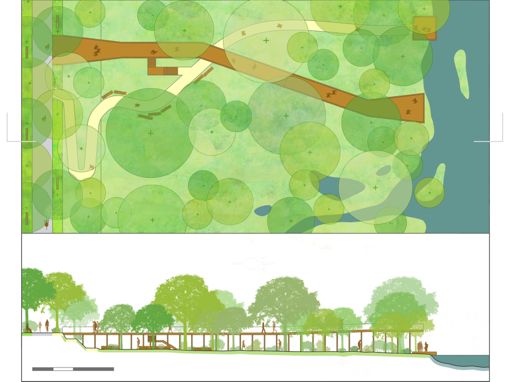
Managed Access
Managing access to sensitive habitat, while maintaining views and awe-inspiring experiences
Limited Outdoor Lighting
Lighting practices to reduce negative impacts on humans and wildlife